Log in
All resources
Create a design
33,048 Free Images of Waldseemüller Map
maps in the library of congress
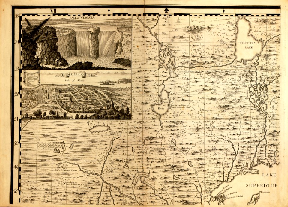
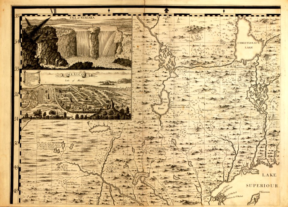
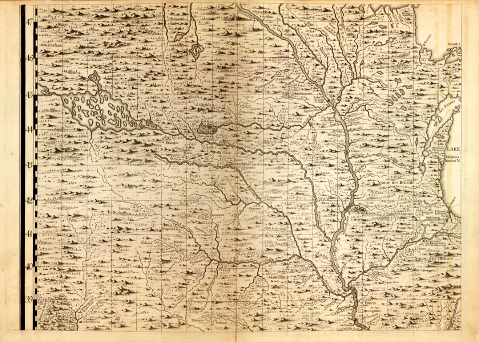
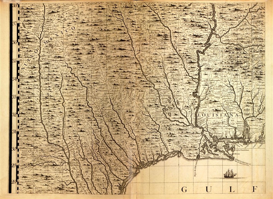
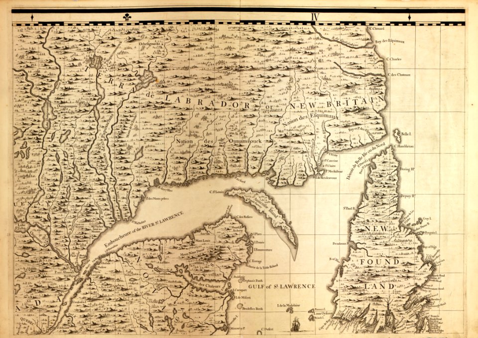
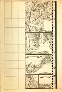
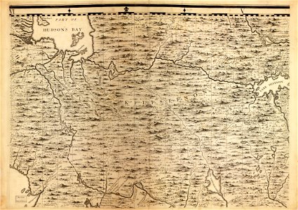
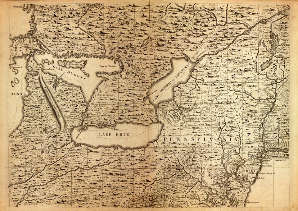
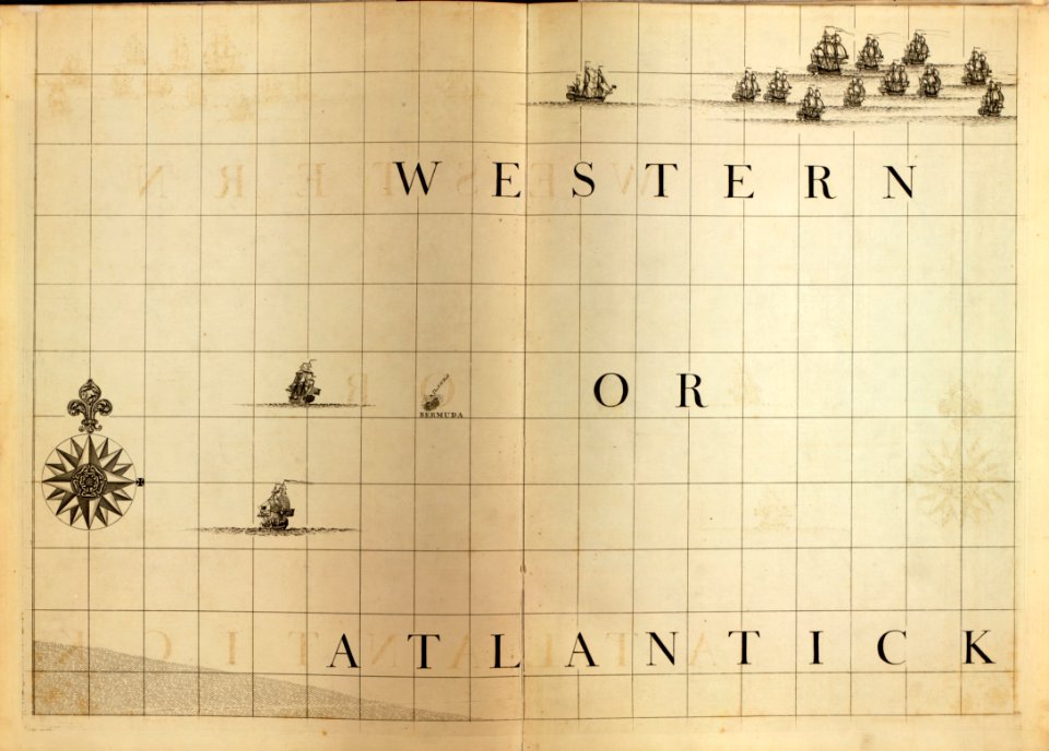
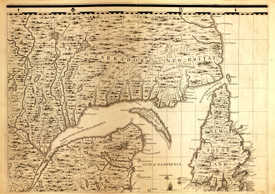
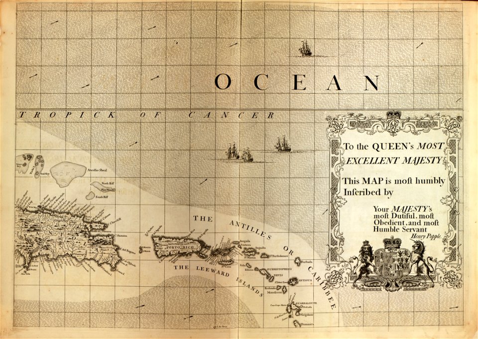
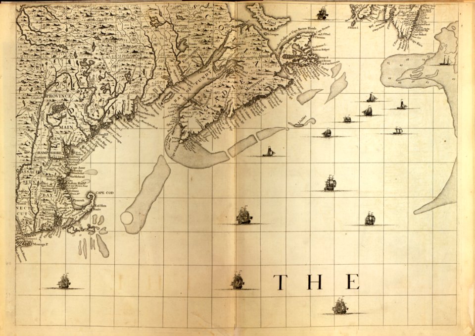
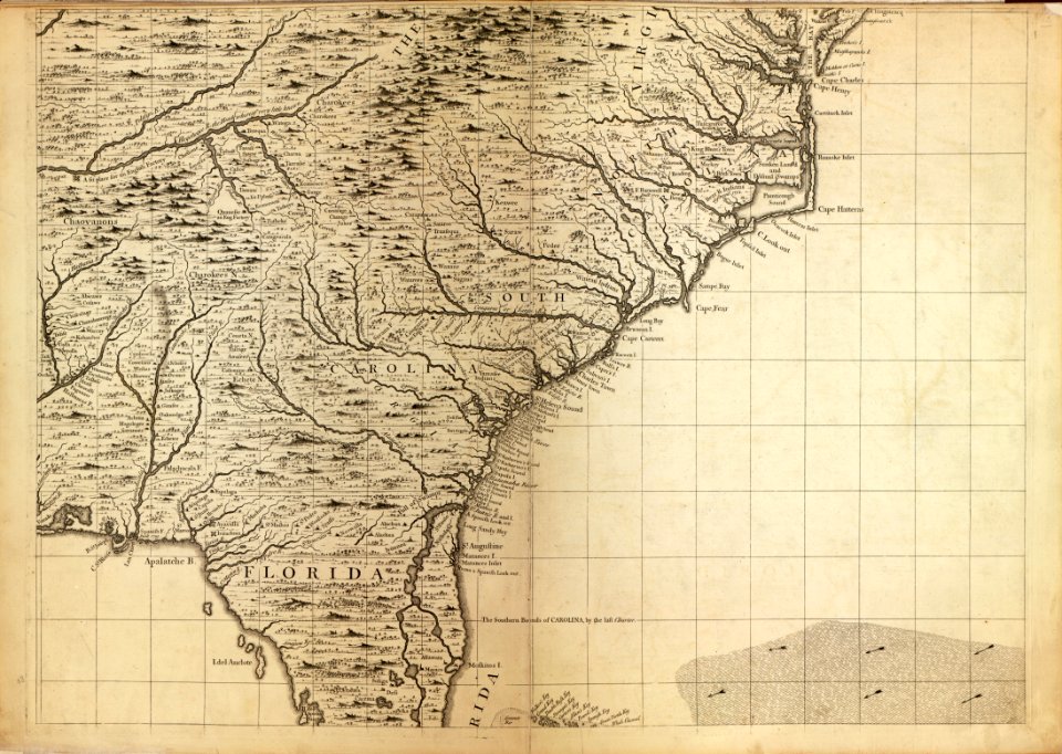
a map of the british empire in america with the french and spanish settlements adjacent thereto
david rumsey historical map collection
1746
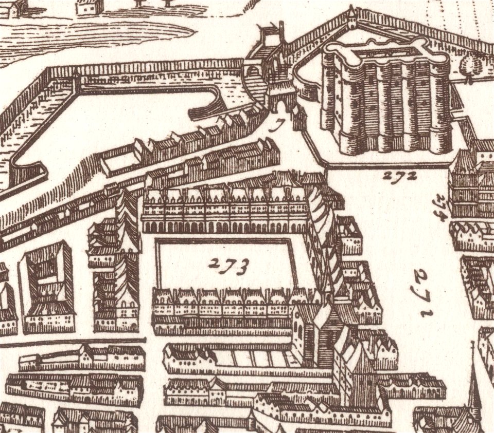
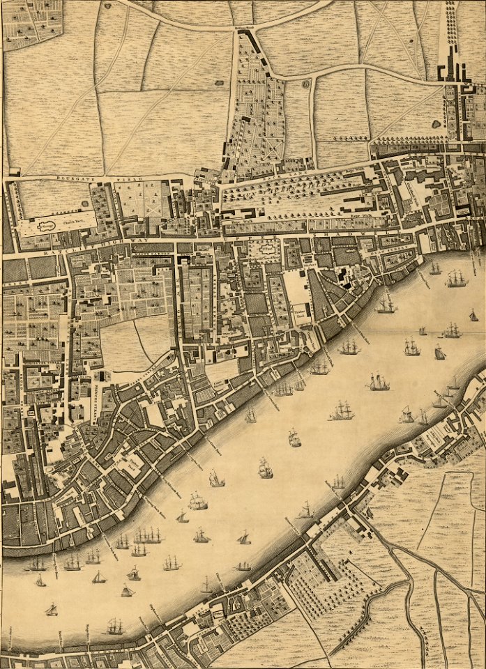
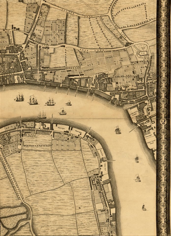
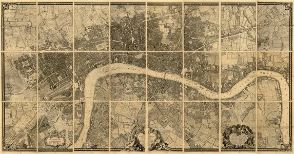
john rocque 1746 crops from library of congress
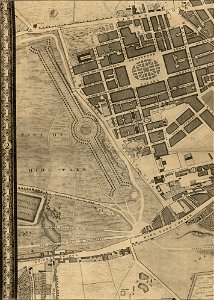
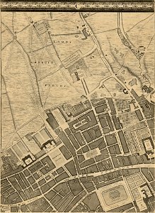
john rocque's map of london
christian gottfried daniel stein
german-language maps
map of paris by claes jansz. visscher - derivate files
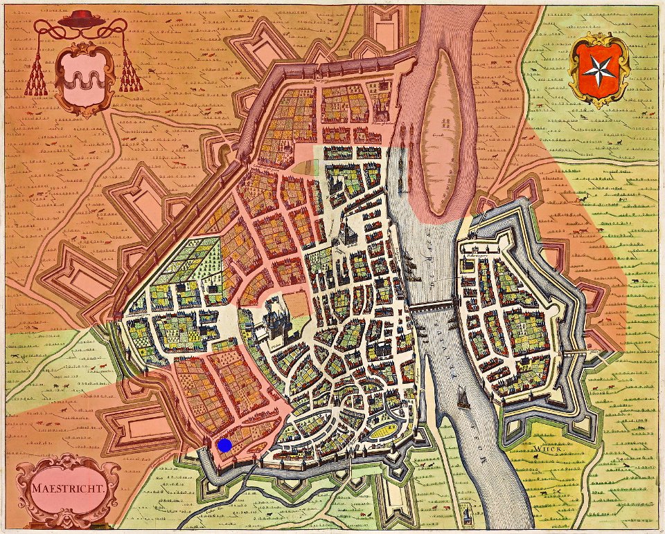
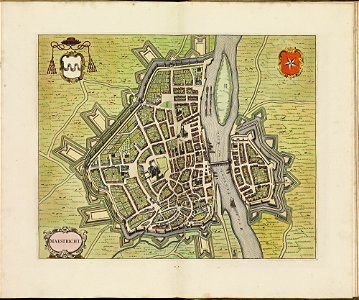
map of maastricht by willem and johannes blaeu (1649)
map of maastricht by willem and johannes blaeu (1649)
atlas de wit 1698
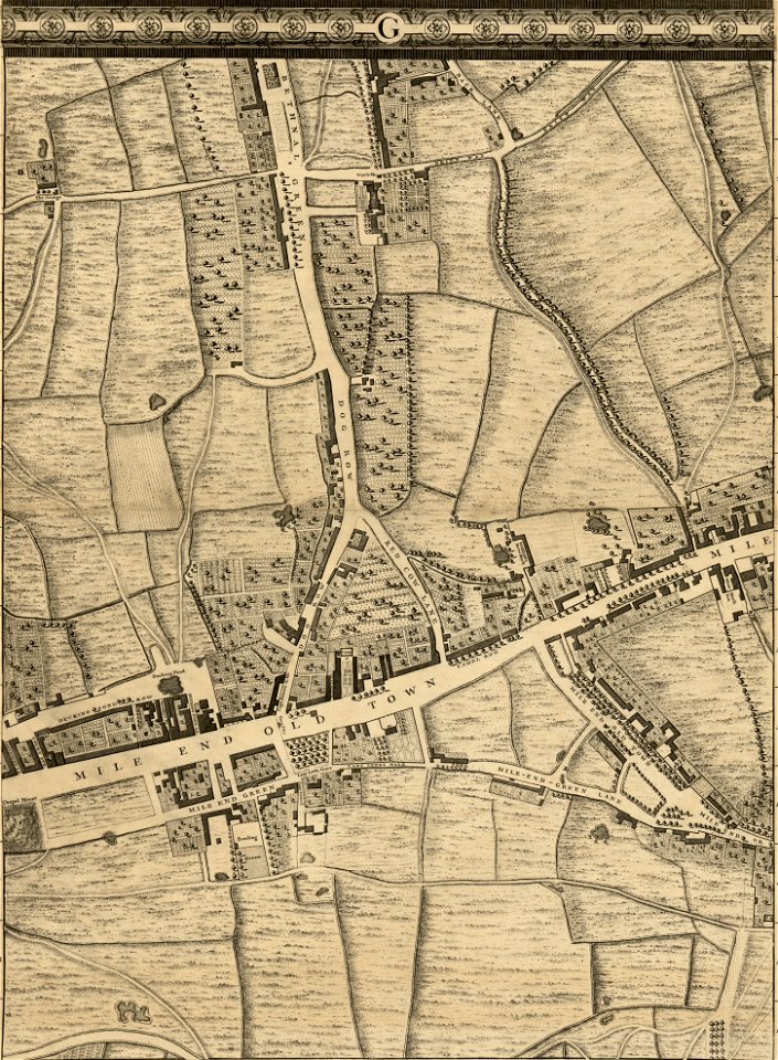
buckinghamshire
old map
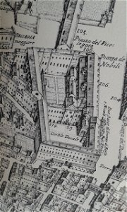
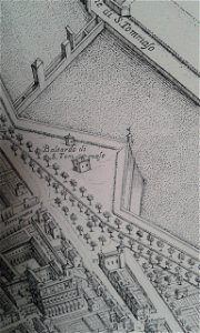
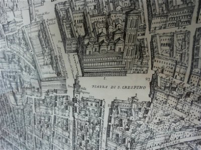
map of ferrara by andrea bolzoni
sala estense (ferrara)
map of ferrara by andrea bolzoni
doccile di s. tommaso
map of ferrara by andrea bolzoni
palazzo della ragione (ferrara)
pages using map template with incorrect parameter
symbols of hoorn
grote kerk in haarlem in art
romeyn de hooghe
map of paris by claes jansz. visscher - derivate files
abbaye sainte-geneviève de paris
maps with cartouches
abraham goos
map of paris by claes jansz. visscher - derivate files
historical images of place des vosges
prints from bonne atlas de toutes les parties at the peace palace library
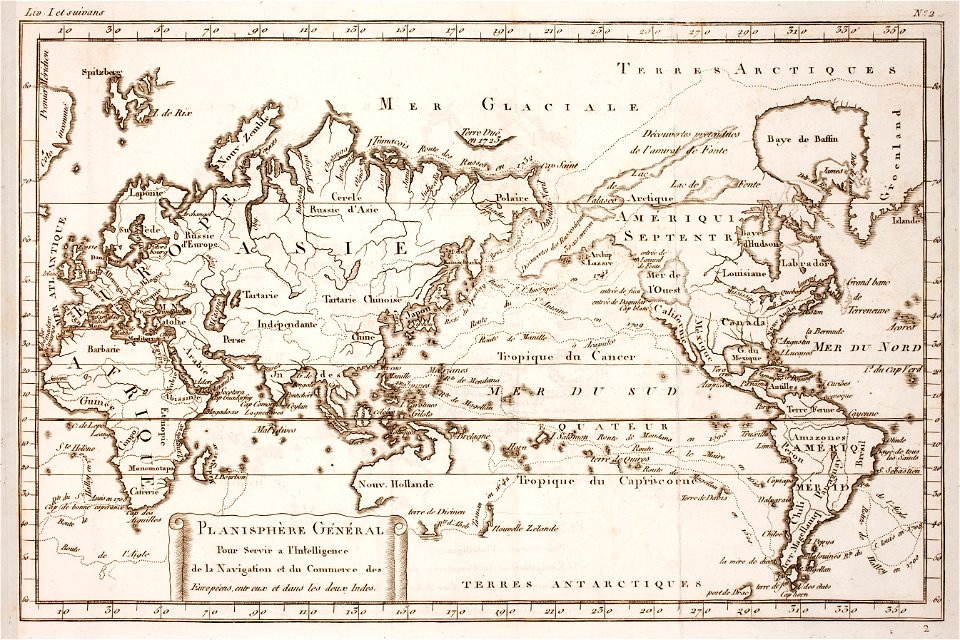
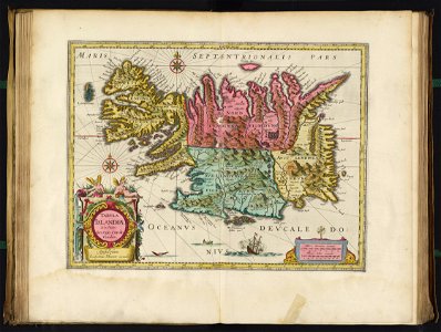
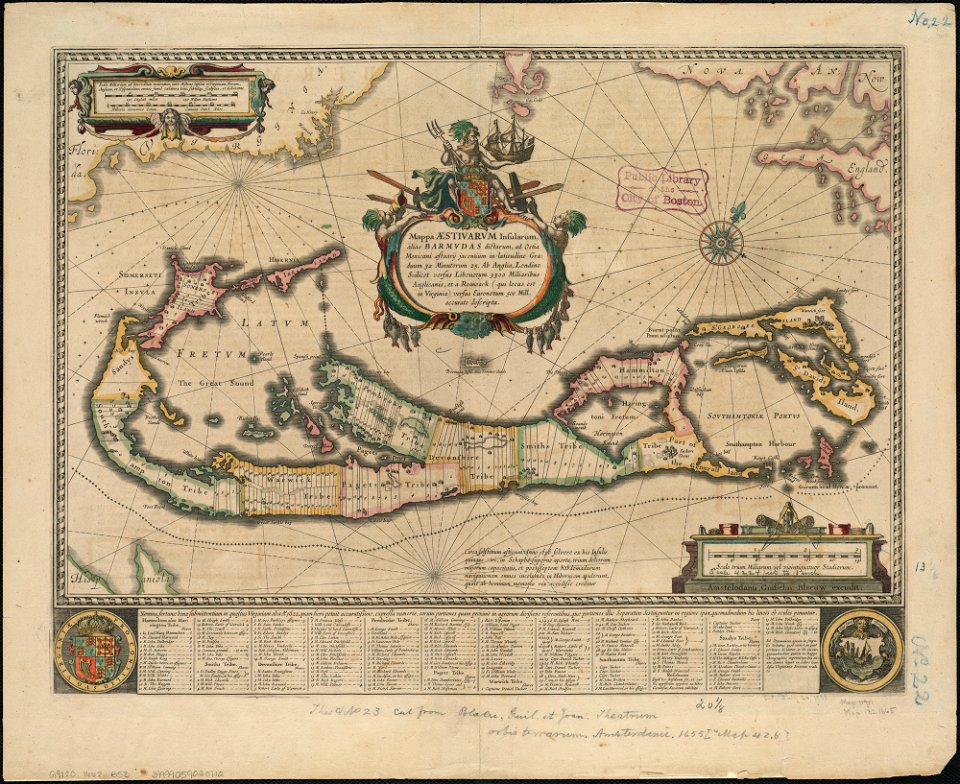
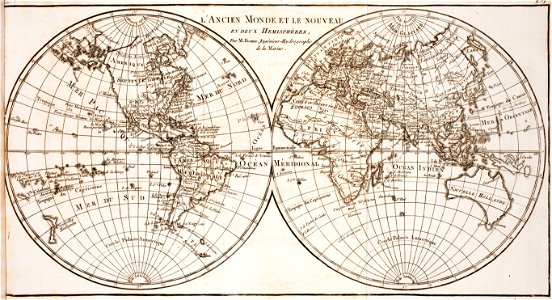
world map
maps in the library of congress
1746
maps in the library of congress
1746
maps in the library of congress
1746
maps in the library of congress
1746
maps in the library of congress
1746
maps in the library of congress
1746
maps in the library of congress
1746
maps in the library of congress
1746
maps in the library of congress
1746
maps in the library of congress
1746
maps in the library of congress
1746
david rumsey historical map collection
german-language maps
david rumsey historical map collection
german-language maps
david rumsey historical map collection
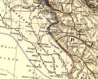
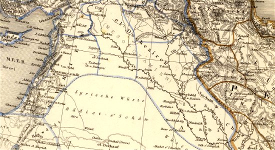
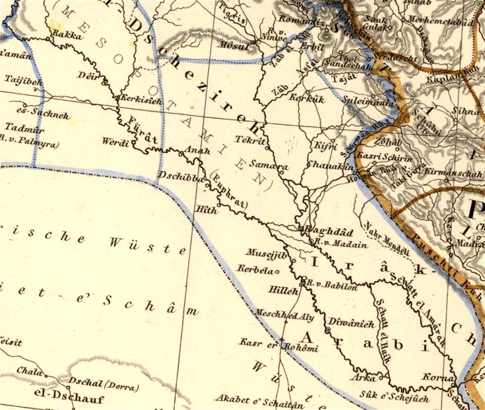
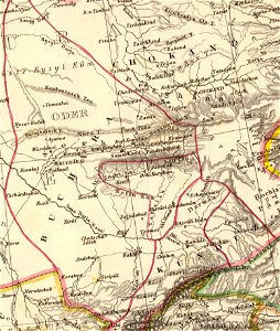
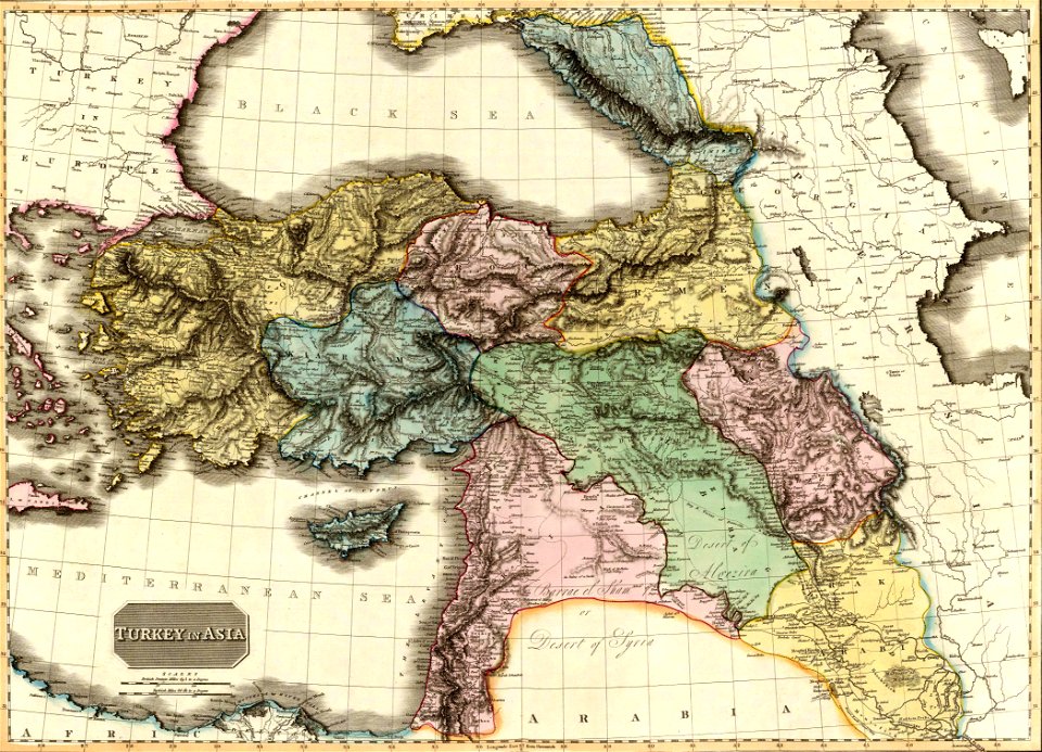
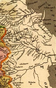
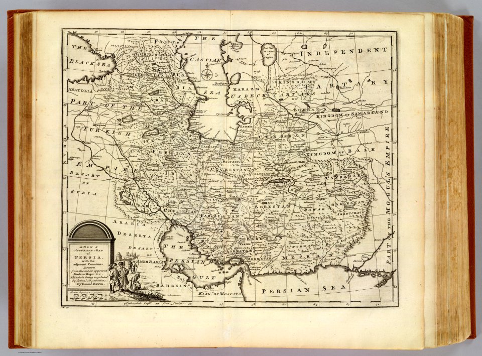
old maps of the middle east
david rumsey historical map collection
german-language maps
david rumsey historical map collection
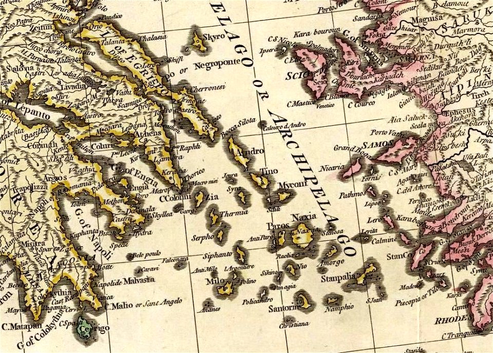
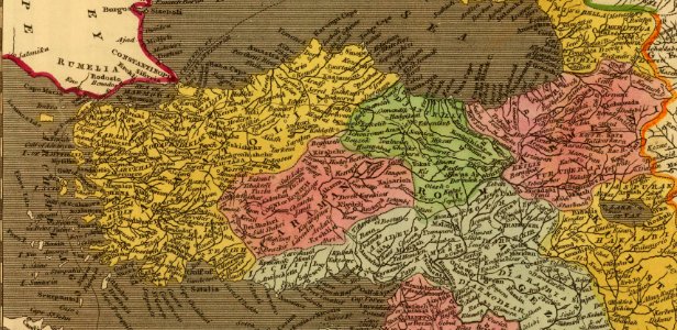
old maps of greece
david rumsey historical map collection
old maps of greece
david rumsey historical map collection
old maps of greece
david rumsey historical map collection
jr
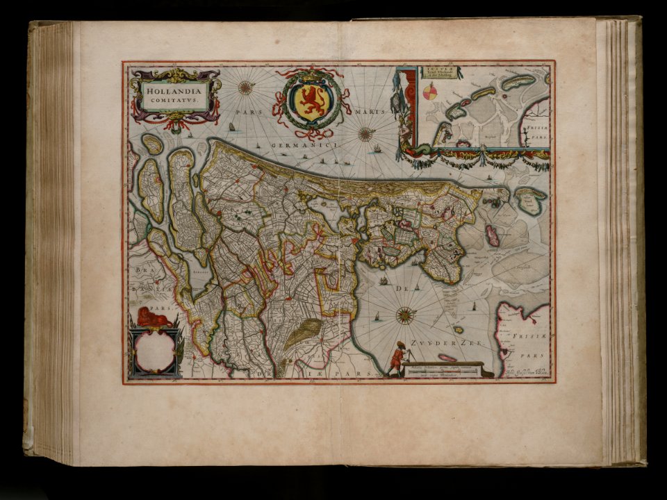
maps by willem and johannes blaeu
joan blaeu
david rumsey historical map collection
german-language maps
maps by willem and johannes blaeu
jodocus hondius
palais du louvre in the 1610s
palais du louvre on old maps
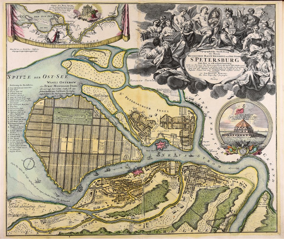
homann map st petersburg ab1720
johann baptist homann
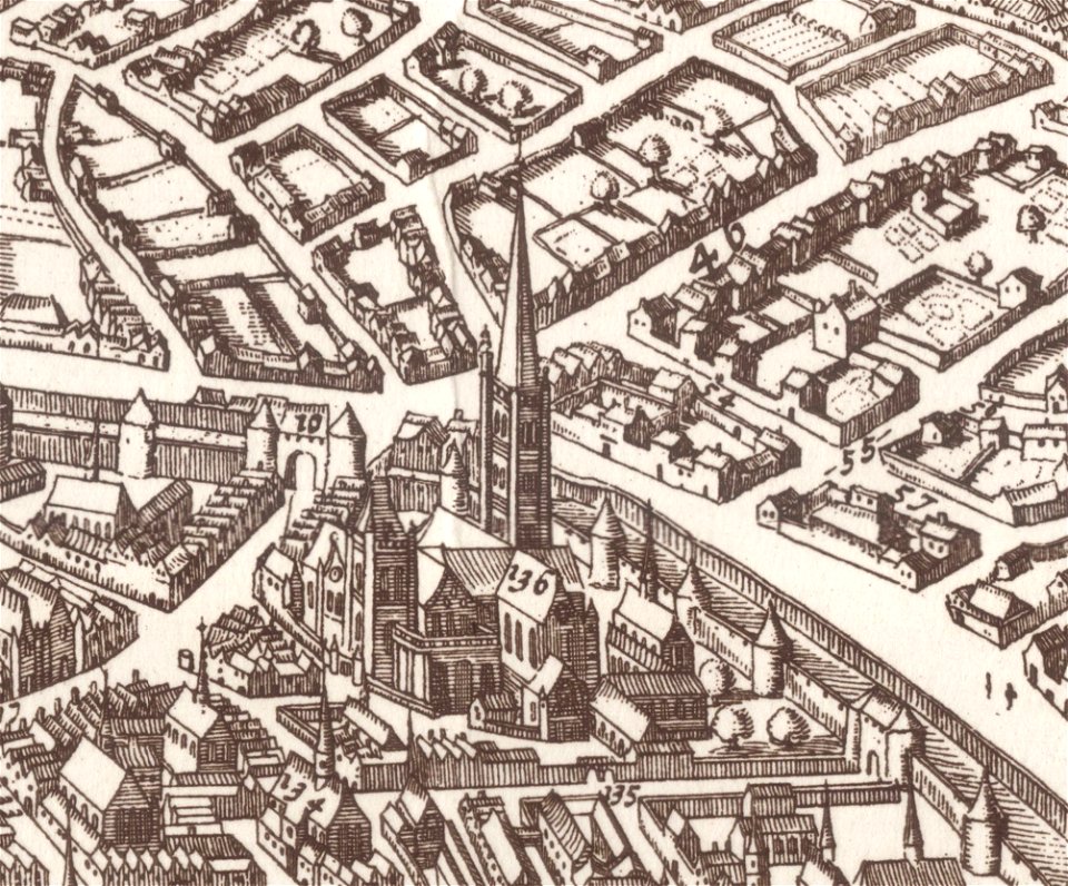
brusselsepoort (maastricht gate)
lindenkruispoort (maastricht)
rhaetiae et valesiae
merian helvetiae
atlas de wit 1698
frederick de wit
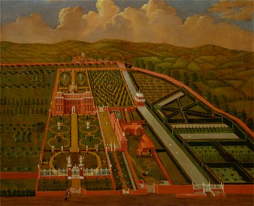
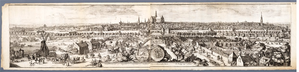
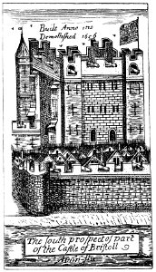
images from bristol past and present (1882)
history of bristol
john rocque 1746 crops from library of congress
1746
map of maastricht by willem and johannes blaeu (1649)
brusselsepoort (maastricht gate)
maps by hendrik hondius the younger
latin-language maps
david rumsey historical map collection
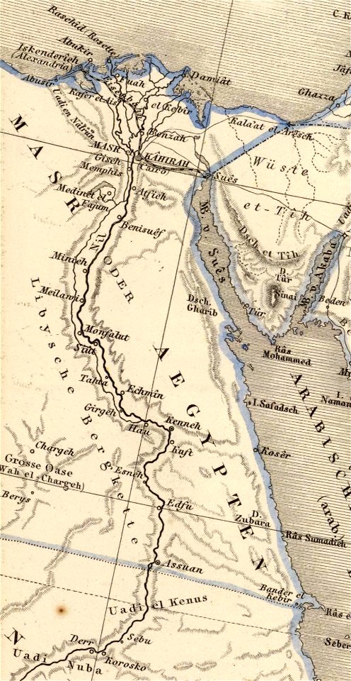
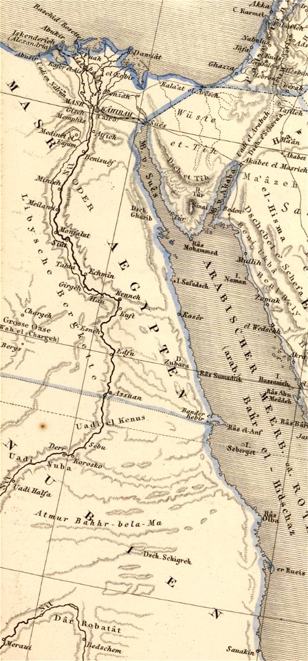
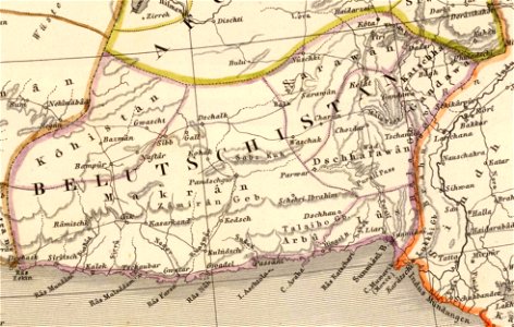
old maps of the middle east
david rumsey historical map collection
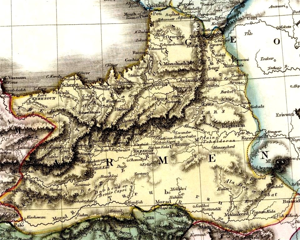
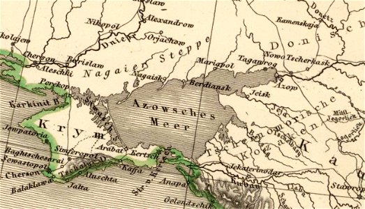
maps of the south caucasus
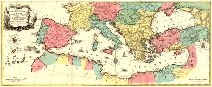
german-language maps showing history of europe
david rumsey historical map collection
david rumsey historical map collection
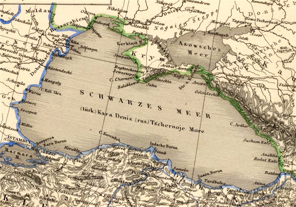
old maps of the sea of azov
david rumsey historical map collection
german-language maps
david rumsey historical map collection
german-language maps
maps of paris from the library of congress
maps in the library of congress
david rumsey historical map collection
german-language maps
david rumsey historical map collection
jr
french-language maps
1770 maps
david rumsey historical map collection
old maps of the middle east
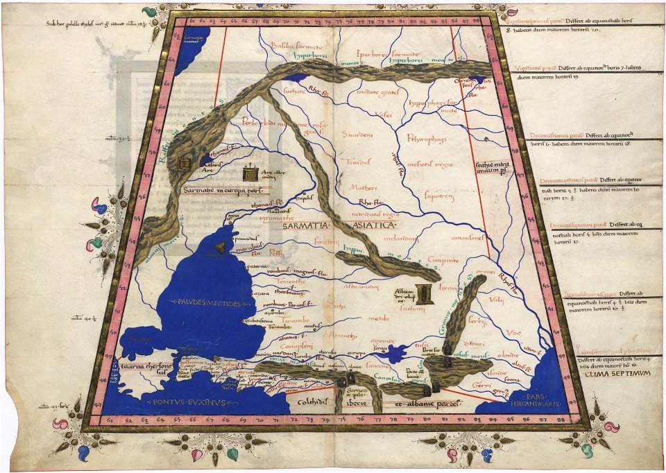
latin-language maps
1725 maps
cosmographia claudii ptolomaei alexandrini
latin-language maps
david rumsey historical map collection
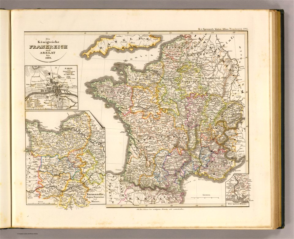
19th-century maps of france
a map of the british empire in america with the french and spanish settlements adjacent thereto
maps in the library of congress
a map of the british empire in america with the french and spanish settlements adjacent thereto
maps in the library of congress
a map of the british empire in america with the french and spanish settlements adjacent thereto
maps in the library of congress
a map of the british empire in america with the french and spanish settlements adjacent thereto
maps in the library of congress
a map of the british empire in america with the french and spanish settlements adjacent thereto
maps in the library of congress
a map of the british empire in america with the french and spanish settlements adjacent thereto
maps in the library of congress
a map of the british empire in america with the french and spanish settlements adjacent thereto
maps in the library of congress
a map of the british empire in america with the french and spanish settlements adjacent thereto
maps in the library of congress
a map of the british empire in america with the french and spanish settlements adjacent thereto
maps in the library of congress
a map of the british empire in america with the french and spanish settlements adjacent thereto
maps in the library of congress
a map of the british empire in america with the french and spanish settlements adjacent thereto
maps in the library of congress
a map of the british empire in america with the french and spanish settlements adjacent thereto
maps in the library of congress
a map of the british empire in america with the french and spanish settlements adjacent thereto
maps in the library of congress
a map of the british empire in america with the french and spanish settlements adjacent thereto
maps in the library of congress
a map of the british empire in america with the french and spanish settlements adjacent thereto
maps in the library of congress
a map of the british empire in america with the french and spanish settlements adjacent thereto
maps in the library of congress
a map of the british empire in america with the french and spanish settlements adjacent thereto
maps in the library of congress
a map of the british empire in america with the french and spanish settlements adjacent thereto
maps in the library of congress
a map of the british empire in america with the french and spanish settlements adjacent thereto
maps in the library of congress
a map of the british empire in america with the french and spanish settlements adjacent thereto
maps in the library of congress
a map of the british empire in america with the french and spanish settlements adjacent thereto
maps in the library of congress
a map of the british empire in america with the french and spanish settlements adjacent thereto
maps in the library of congress
a map of the british empire in america with the french and spanish settlements adjacent thereto
maps in the library of congress
a map of the british empire in america with the french and spanish settlements adjacent thereto
maps in the library of congress
a map of the british empire in america with the french and spanish settlements adjacent thereto
maps in the library of congress
a map of the british empire in america with the french and spanish settlements adjacent thereto
maps in the library of congress
a map of the british empire in america with the french and spanish settlements adjacent thereto
maps in the library of congress
a map of the british empire in america with the french and spanish settlements adjacent thereto
maps in the library of congress
a map of the british empire in america with the french and spanish settlements adjacent thereto
maps in the library of congress
a map of the british empire in america with the french and spanish settlements adjacent thereto
maps in the library of congress
a map of the british empire in america with the french and spanish settlements adjacent thereto
maps in the library of congress
a map of the british empire in america with the french and spanish settlements adjacent thereto
maps in the library of congress
a map of the british empire in america with the french and spanish settlements adjacent thereto
maps in the library of congress
a map of the british empire in america with the french and spanish settlements adjacent thereto
maps in the library of congress
joan blaeu
old map
cornell: persuasive cartography: the pj mode collection
cornell university library
old maps of île de la cité
île de la cité in art
map of paris by claes jansz. visscher - derivate files
churches in paris on the maps
world map
project
david rumsey historical map collection
j. and p. knapton
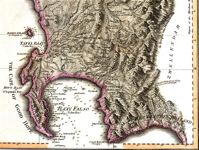
old maps of south africa
maps by william faden
cornell: persuasive cartography: the pj mode collection
cornell university library
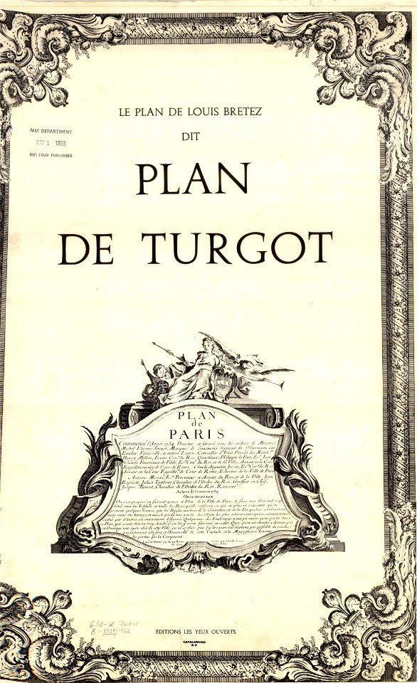
french-language title pages
title pages from france
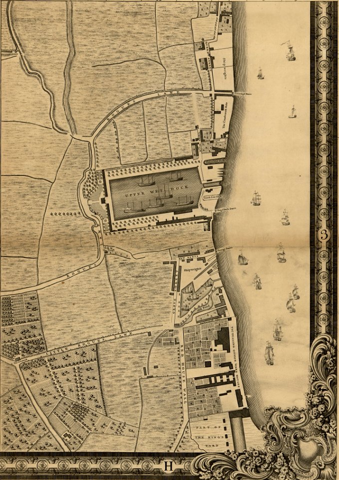
maps of del norte county, california
1866 maps of california
1001 - 1100 of 33,048
Next page
/ 331